UXO research

T&A stands for expert, efficient and safe (water) soil research, where the client has always a central position.

News

27-09-2024

18-12-2023

Artificial Intelligence (AI) I for a more accurate classification of suspicious objects?

T&A, Airvision and the Universities of Eindhoven and Tilburg are conducting joint research to determine whether the use of Artificial Intelligence (AI)/Neural networks can contribute to a more efficient detection process for explosives from the Second World War.
18-07-2023

T&A is also offshore survey

Since the first aquatic soil investigations in the last century, T&A has grown into a specialist in aquatic soil investigations. What is less known is that since 2016 T&A also carries out near- and offshore surveys every year with multibeam, side scan sonar (sss), magnetometers and sub-bottom profiler to map the seabed.

Other news

Explosieven onderzoek

UXO research

UXO research is necessary because explosives can pose a great risk when carrying out earth-moving activities and work in the water bottom. UXO from World War II, such as unexploded bombs, grenades, mines and ammunition, are still present in the subsurface and water bottom. T&A's UXO investigation consists of 3 phases: preliminary investigation, detection and approach.

Read more

Archaeology

Archaeological research is increasingly combined with environmental and geophysical surveys and UXO detection. This is because it is not uncommon for earth moving activities to take place at locations where objects or constructions of archaeological interest are (expected to be) present in the underground. In those cases, archaeological research is required. T&A uses Geophysical techniques to make archaeological surveys more efficient. The instruments measure anomalies and changes in the subsurface without the soil being stirred.

Read more

Archeologisch onderzoek
Geofysisch onderzoek

Geophysical research

Geophysical research maps the subsurface and constructions in the subsurface, usually without having to drill or dig. The depth of the investigation can vary from a few centimetres to many kilometres.

Read more

Environmental research

Environmental research maps possible pollution of the subsurface and waterbottom. If necessary, the health and risks of soil pollution are determined and the ground contaminants are then removed. In the same field as environmental soil research lies the research, which determines whether the soil material can be (re)used as building material.

Read more

Milieukundig onderzoek
Waterbodem onderzoek

Water bottom survey

With offshore and inshore surveys T&A maps the bottom of the sea, rivers, canals and lakes using hydrographic and geophysical measurement techniques. To perform these surveys, we have hydrographic and geophysical experts, various survey vessels and a team of UXO certified divers. All soil surveys can also be performed in the water bottom, including UXO research, detection of cables, tubes and obstacles, archeology and contamination research. We also perform hydrographic research such as the determination of sludge layer thickness, soundings, quay and jetty surveys. All surveys can be combined for a more complete picture of the water bottom.

Read more

Drone Services

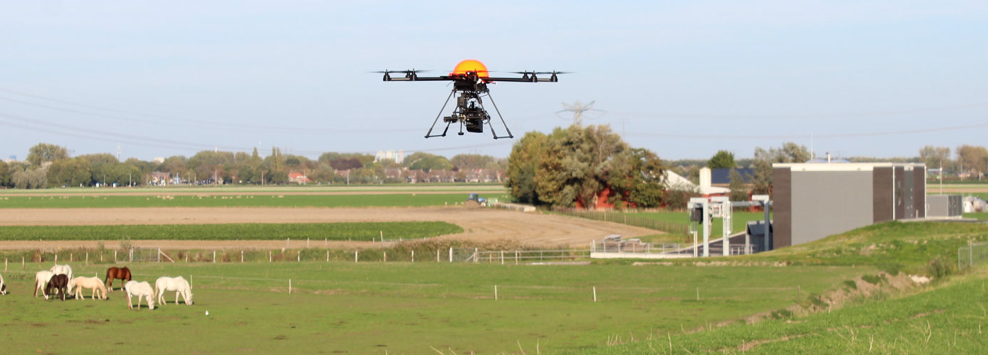
T&A Drone Services uses lightweight and easy-to-transport drones and measuring techniques, making aerial surveys accessible to a wider audience. We bring all equipment to the research area, take off on the spot to carry out the survey. This means that we can deliver custom work wherever our clients wish.

Read more

Drones
Geothermie onderzoek

Geothermal Energy

One of the greatest challenges of our time is the changing climate. Many people and companies are therefore switching to green energy. Energy from the subsurface can be applied for households and businesses (Heat-Cold Storage/ATES) and on a larger scale for industries and governments (deep geothermal energy).

Read more

<