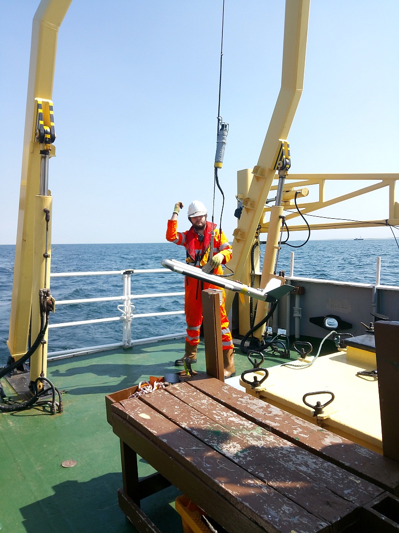
 While the Netherlands was enjoying a long and hot summer, T&A performed a seabed survey at two differrent locations to identify obstacles (potential UXO) that could pose a danger during sand extraction and the construction of a wind farm. In both projects we used a combination of geophysical techniques, resulting in a detailed picture of the sediment. Unfortunately, only the equipment was allowed to go overboard!
Previously carried out research historical research had already shown that both locations were suspect of the presence of UXO from the Second World War. We searched for objects with an iron content of 50 kg and more. The water depth in the area was 20 to 30 meters. Based on knowledge and experience from previously conducted, comparable studies, T&A opted for the following (combination of) research techniques:
- Multibeam echo sounder: maping the water depth.
- Side Scan Sonar: mapping objects on the water bottom.
- Magnetometer research: the most commonly used technique for mapping ferrous objects, such as UXO, on and in the sediment.
The study resulted in a list of objects and their GPS position. With this information the client could determine whether additional measures had to be taken before the activities could start. It was also possible to determine how the work could be carried out safely.
 While the Netherlands was enjoying a long and hot summer, T&A performed a seabed survey at two differrent locations to identify obstacles (potential UXO) that could pose a danger during sand extraction and the construction of a wind farm. In both projects we used a combination of geophysical techniques, resulting in a detailed picture of the sediment. Unfortunately, only the equipment was allowed to go overboard!