TISA® 3D Borehole Radar project

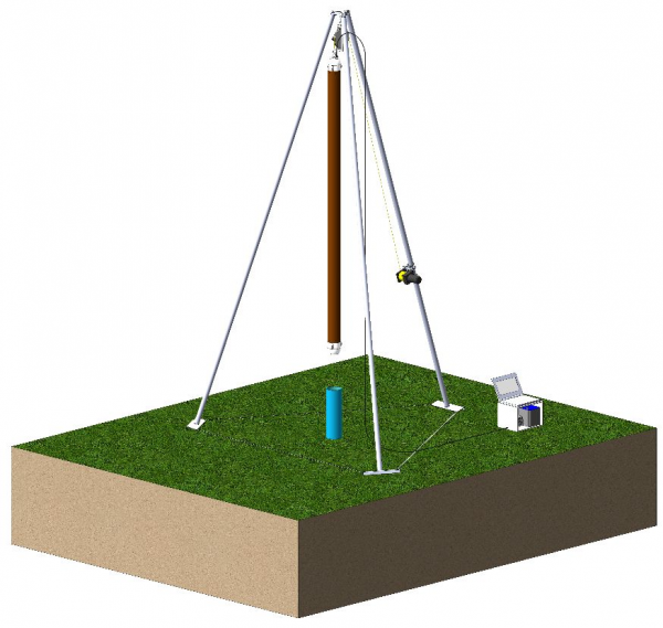
The TISA 3D Borehole Radar is a geophysical technique for high-resolution 3D mapping of the surroundings of a borehole. Applied in a single borehole, this technique combines all the advantages of GPR tools in one piece of equipment: high-resolution data with directional information and a penetration range of up to 15 meters.
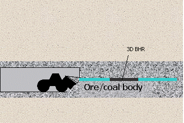
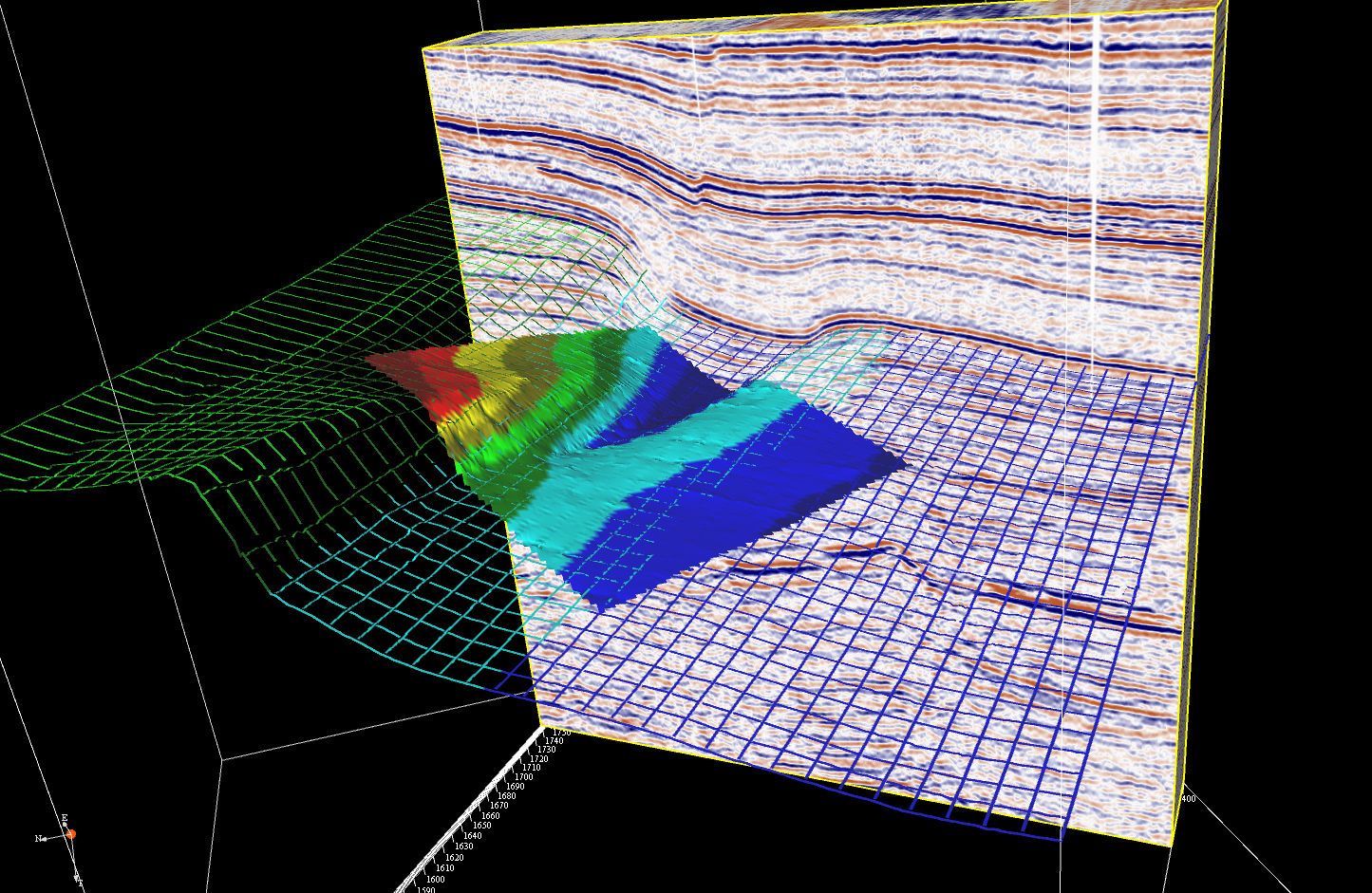
TISA 3D is a breakthrough technology as it is the first tool to allow radar survey at greater depths, with very high accuracy and in difficult circumstances. T&A was responsible for the system design, engineering, the operating and processing software and testing. Subcontractor TNO-D&V (Defense and Safety) developed the radar electronic component of the downhole probe.

Development in 2 phases

The development of the TISA 3D Borehole Radar consists of two phases. Phase 1, the development of the TISA 3D prototype for the detection of metal objects in boreholes up to a depth of 100 meters, was successfully completed and tested. T&A will now proceed to phase 2: The development of the full service tool for use in boreholes up to a depth of 4.000 meters for the characterization of oil and gas reservoirs


Advantages of the TISA 3D tool

Read more

Application: Oil & Gas reservoir characterization

The TISA 3D Borehole Radar technology is a promising addition to existing logging techniques in oil and gas exploration and production.More accurate reservoir assessment leads to less reservoir uncertainty, lower technical and financial production risks and improved reservoir management.

Read more

Application: Mining Industry

The mining industry is all about knowing what's going on in the underground. Without subsurface testing, it is impossible to locate an ore body, to define exploitable reserves or to design a mine plan.

Read more

Application: Geothermal Energy Detection

In order for a geothermal project to be successful, it is important to study the geological structure and stratigraphy of the subsurface of the planned location. The research target of a geological study is to map deep groundwater reservoirs or acquifer.

Read more

Application: Geotechnical Survey

After many years, the exact location of structures (concrete piles, sheet piles and foundations) is often unknown and needs to be determined again. Geotechnical investigation of underground structures aims to determine the exact location and dimensions of a structure or to check for possible damage or decay.

Read more

Application: Determination of Jet Grout Column Diameter

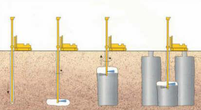
Jet grout injections consolidate the soil and decrease the risks of subsidence from large surface structures. Jet grout columns vary in diameter, depending upon the injection pressure and the soil conditions. By integrating the TISA 3D Borehole Radar technology into the injection lance, the diameter of the column can be determined on site.

Read more

Application: Tunnel Track Exploration

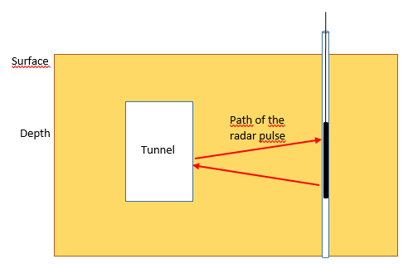
It is essential that any tunnel project starts with a comprehensive investigation of ground conditions. In addition, encountering unforeseen ground conditions, objects or anomalies can be costly in terms of time and materials. The TISA 3D Borehole Radar technique continuously gathers detailed information about obstacles and geological transition zones.

Read more

Application: Detection of Unexploded Ordnance (UXO)

WWII Unexploded ordnance (UXO) detection from the surface is often not feasible, since the explosives are buried too deep. When a bomb dropped from an airplane doesn't explode touching the surface, it penetrates the upper soft peat and clay layer and stops at the first stable sand layer. In the Netherlands, this layer can be located at a depth of more than 10 meters below the surface. Due to resolution problems, detection from the surface is not an option in these cases

Read more

View our projects here

<