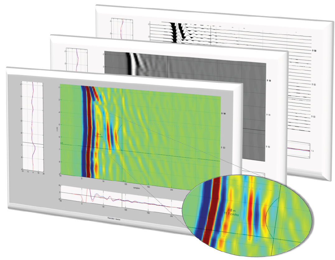
 TISAMap is the specifically designed software package to display, process and interpret radar data recorded with TISA 2D. Besides standard processing steps such as Dewow and AGC gain application, TISAMap allows to subdivide the recorded depth interval into user defined horizontal layers. This feature is especially useful for vertically recorded radar profiles which are often affected by changing soil conditions with depth. By insertion of several layers the user has the ability to apply individual processing parameters to the different soil layers (e.g. clayish vs. sandy layers).