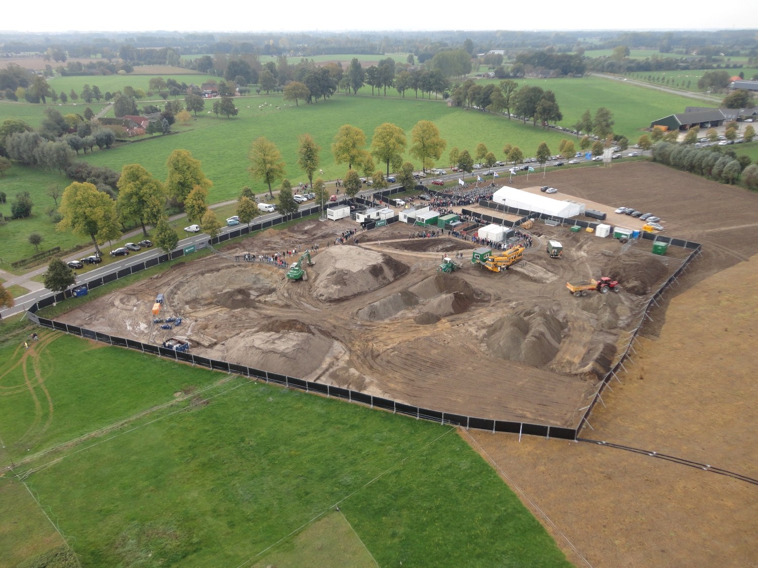
 The use of drones can provide new perspectives during archaeological research and excavations. Especially in surveys covering large areas with many underground artefacts, such as ancient foundations, the use of drones can reduce time and costs and improve the quality of the project considerably. This way the excavation activities can be more focussed.