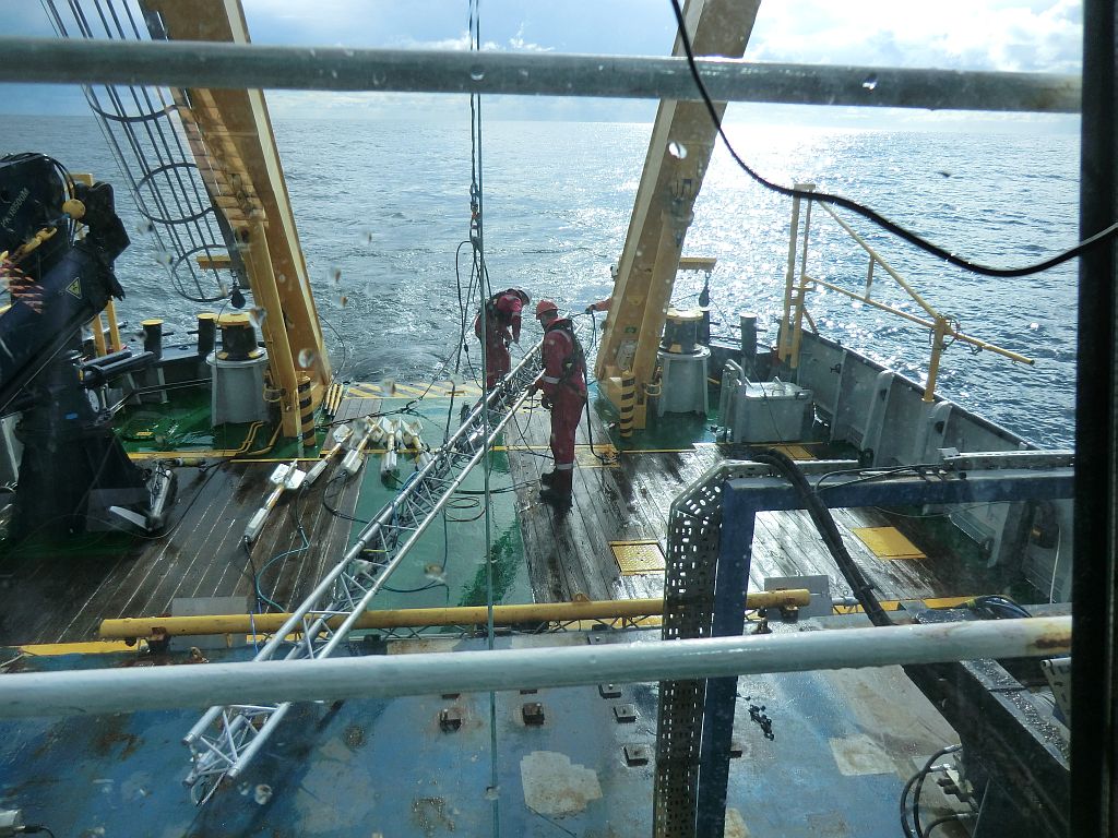
 For this project T&A Survey has mapped the bottom of the North Sea in order to detect possible obstacles for sand mining. These obtacles could be either of archaeological value, like old shipwrecks which by law are required to be handled wih care, or explosives from World War II. T&A has used three different geophysical techniques, which together created a detailed map of the bottom of the ocean: multibeam echo sounder, sidescan sonar and magnetometer.