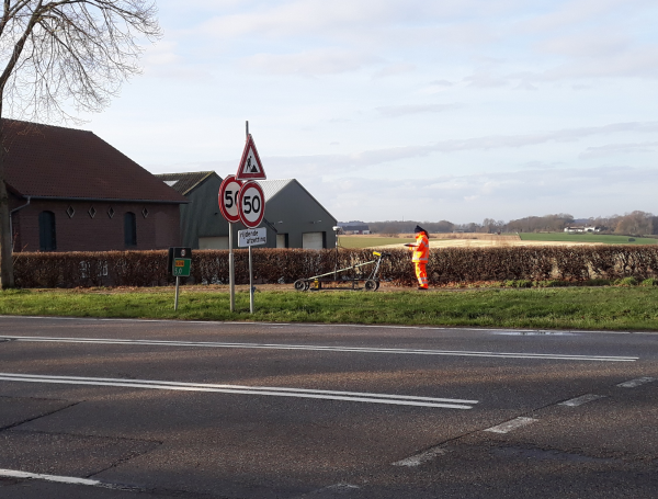
 T&A conducted a GPR survey along a trajectory in South Limburg for TNO Geological Survey of the Netherlands. The research goal was to detect sink holes and cavities under the 1 km trajectory. The cavities are created by local solution of the limestone (marl) in dolines (solution depressions).