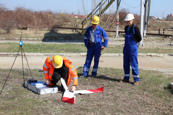
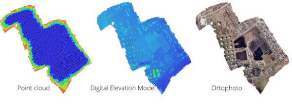
 For a client, T&A carried out a drone 3D Photogrammetry measurement of a petrochemical storage site in Romania. The area had to be mapped three-dimensionally for planned remediation activities. Given the large surface of the research area and the required data accuracy, the client wanted the measurements to be carried out by a drone.